Mapping the Newport Experience is a research project dedicated to documenting the urban history of Newport, Rhode Island from colonial settlement to the present day.
In a series of case studies examining period maps, paintings, illustrations, photographs and literary descriptions, the project examines the physical layout of the city’s thoroughfares and the cultural response to the urban environment over the past over three and a half centuries.
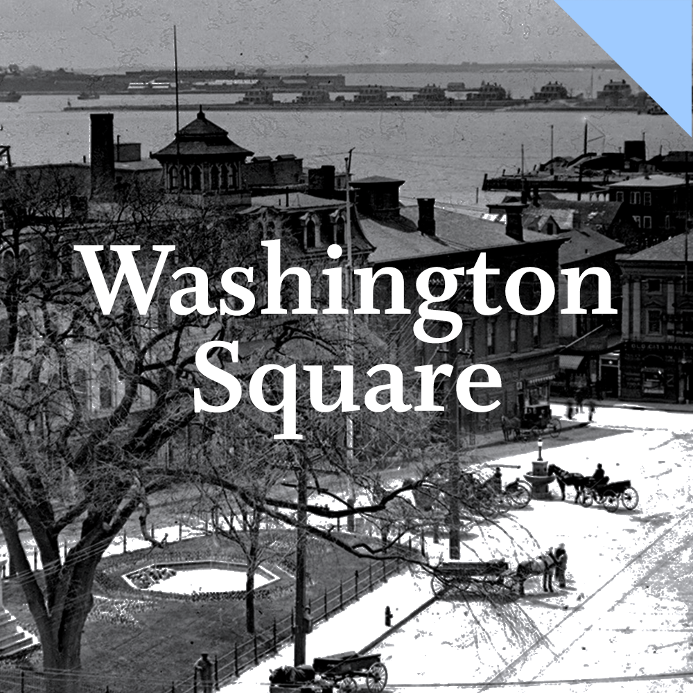
The first case study presented here charts the evolution of Washington Square from its foundation in the 17th century through the evolution of its streets, civic spaces and architecture in the Victorian age and the revolutionary changes brought about by urban renewal in the 20th century.

This project is made possible by the generous support of Elizabeth "Lisette" Prince and the Buchanan Burnham Endowment for Visiting Scholars. All images are from the collections of the Newport Historical Society unless otherwise noted.